

|
Distance |
31.5 km / 19.5 miles |
|||
|
Explorer maps |
Sherwood Forest / 260 Nottingham - Vale of Belvoir |
|||
|
Time |
7.5 - 8 hours average time based on Naismith’s rule |
|||
| Total ascent | 341m | |||
| Total descent | 367m | |||
|
Waypoint coordinates |
|
|||
| Download PDF |
|
|||
|
Overview |
The route follows well marked and pleasant paths including parts of the Robin Hood Way and the Southwell Trail. Along the footpath to Oxton, is a small Roman marching camp and a small Roman fort. The route then passes through Oxton, Epperstone and Lowdham meaning "village by the loud stream” and Gunthorpe which are medieval villages |
|||
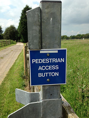 1 - From Rufford Abbey return to the main road, and turn left, along the road and at the 50mph sign turn left to pass Manor Farm. At the t-Junction turn left and then right to walk back through the golf course again ( Robin Hoods Way ). Just before North Laiths Farm turn left signed RHW. Shortly after the track on the right the path crosses the field on the left, across the next one and over the old disused railway line. Turn right across two fields to reach a track. Turn right on it to Bilsthorpe road. Go straight over through the hedge and right across the large field to reach the left field boundary. Continue following this to skirt around Eakring Brail Wood and the quarry to reach the road at Bilsthorpe - ignore any paths on the left. At the road take the right path to the roundabout and go straight across into Forest Link and signed Cycle Path Southwell Trail (Disused railway line).
2 - Where the Southwell Trail arrives at Farnsfield and travels left, take the right track past the building on your right to a housing estate. Turn left (Station Lane) and the footpath right after Farnsfield Cricket Club. Head straight across the field, down the alley, left at the road, and right down Bildworth Road (opposite the pub) to Church Side in front of you, and the footpath to the right skirting an estate wall ( RHW ) down the alley. Cross the road and continue on the RHW which will bring you onto a track (Combs Lane). Ignore the sign to the Halifax Bomber Memorial on the left but take the 2nd path on the left to enter the woods (fourth field before the track bears right, footpath sign down). Head left at the first crest of the hill and then left on the track after leaving the woods. Turn right then left to skirt round a small rise to bring you out at Greaves Lane. Cross the lane and follow the RHW path and signs to Oxton.
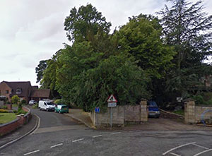
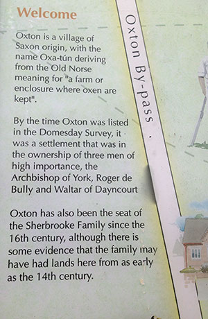 3 - In Oxton turn right at the Green Dragon Pub and left down the main street. After the church turn left down New Road, and at the main road right, then footpath left to Park Farm.
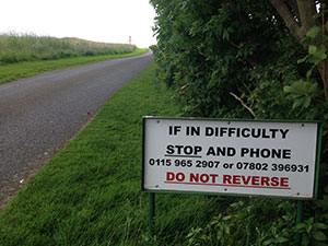
4 - At Park Grange take permissive path ahead ( green posts, red arrow ) to pass behind the house and left at the forest boundary. At the end of the field turn left ( Permissive Path, green post ) to join a track and then right. This will bring you out at a lane where you need to turn right to Epperstone Village. At the main road turn left and continue down Gonalstone Lane. Take the footpath right to the Old Mill House, across the main road (A6097), left on the old Epperstone road and the footpath right and then left signed to Saint Mary’s Church. After passing Saint Mary’s Church turn left at the top of the road. Follow the road round and then right down Red Lane to pick up a footpath at the end. This will arrive at the A612.
5 - Turn left on the A612, and then right at the roundabout and along the main road to Gunthorpe. (There is the option of taking the road into the village itself and then back to the main road to cross the river).