
|
Distance |
23.3km / 14.5 miles |
|||
|
Explorer maps |
North York Moors, Western Area OL26 & Ripon & Boroughbridge 299 |
|||
|
Time |
5 - 5.5 hours average time based on Naismith’s rule |
|||
| Total ascent | 151m | |||
| Total descent | 56m | |||
|
Waypoint coordinates |
|
|||
| Download PDF |
|
|
||
|
Overview |
This is predominantly a flat walk along a combination of good paths, the riverside, and country roads. |
|||
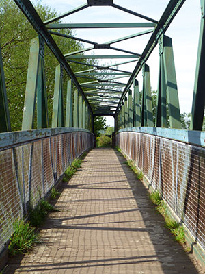 1 - Return to the junction of Hall Lane and continue down Bridge Street, direction St Peters Church. Continue ahead and follow the Public Bridleway sign to go over a bridge.
 2- The Public Bridleway will take you past Burton Grange to reach the main road. Turn left down Helperby Lane and continue to Milby. At Milby turn left down Tinkler Lane to reach the river. Cross over the lock and follow the canal and then the river path to Boroughbridge.
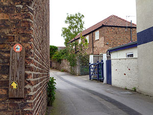
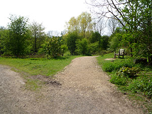
3 - At the main road turn left into the town past the left turn and then about 50 metres turn right up Valuation Lane (photo) and follow the footpath through the housing estate to the main road and there turn right to Roecliffe.
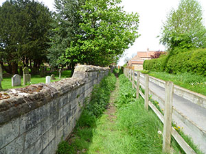 4 - At Roecliffe turn right just by the side of St Mary’s church down to the river, and left to follow this to Westwick Lock.
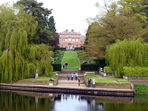
*A detour to Newby Hall can be made here by going over the lock and the path to Skelton On Ure *
If not taking the detour keep to the left of the lock and continue along the river bank to eventually reach a view directly across the river bank to Newby Hall (a good rest spot).
 5 - Continue following the river bank and right on the tarmac road, and then back onto the river bank to reach a small lane again. Walk past Retons Bridge to the road and turn right to Littlethorpe (Parish Pinfold on the left for confining stray animals). Follow the footpath sign at the corner of Or-chard Lane through the field and left at the road and left again to join a Public Bridleway. Walk across the road, through a field and forward through a hedge to the main A61 road.
 6 - Turn right on the A61 to walk just past the roundabout and then left at Quarry Moor. Follow the footpath sign, keeping right. This eventually skirts round the back of some houses to reach West Lane. Walk along West Lane to the end past the Public Bridleway to then bear left at the junction of Hell Wath Grove and the playing fields. Go past Hell Wath cottage, over the small bridge and at the footpath cross, the path turns left to reach the village of Studley. Walk across the road and into Studley park.
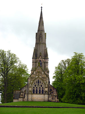 7 - Turn right at the park road and walk up to the Church keeping to the left and eventually reaching a gate. Pass through and turn left to reach the entrance of Fountains Abbey and the visitors centre.
