
|
Distance |
24.9 km / 15.5 miles |
|||
|
Explorer map |
137 Ashford | |||
|
Time |
6 - 6.5 hours average time based on Naismith’s rule |
|||
| Total ascent | 1375m | |||
| Total descent | 1374m | |||
|
Waypoint coordinates |
|
|||
| Download PDF |
|
|||
|
Overview |
The route follows parts the original Pilgrim Pathway some of which is sadly now under tarmac or the North Downs Way. Shortly after leaving the village there is a choice again to either continue along the road which is the Pilgrims Way to Hollingbourne or turn left onto the North Downs Way following the chalk ridge to Hollingbourne that runs Parallel to the PW. Both paths come together after the Marley works to reach the end of this stage which is easy to follow. |
|||
 1 - With the front of the Cock Horse pub behind you, pass the white and black timber house on the Pilgrims Way then turn left onto the North Downs Way to briefly climb up and onto the the ridge to Castle Hill. Passing round the hill the NDW once again climbs the ridge and turns right through Civilley Woods. Cross over Coldblow Lane to Cat’s Mount and follow the ridge to cross over Broad Street Hill Road. Continue on the ridge and down to Hollingbourne.
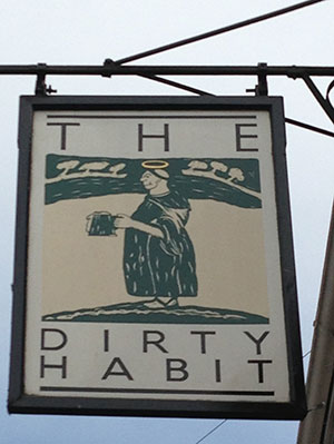
2 - In Hollingbourne, turn right down Hollingbourne Hill and the left to pass the Dirty Habit public house on the right. Continue on the Pilgrims Way past the Marley Works on the right. Shortly after passing the works the lane bears right, at this point continue ahead briefly on the North Downs Way before returning to the Pilgrims Way at the road. Both paths share the same route to Charing.
 3 - At the A252 turn left uphill and then immediately right down hill to the Pilgrims Way/North Downs Way. The path goes off road and passes through Stubyer’s Wood, this section can be quite boggy. Pass Dunn Street Farm. At the road junction turn right to Westwell.