
|
Distance |
13.5 km / 8.4 miles |
|||
|
Explorer map |
181 Chiltern Hills North | |||
|
Time |
3 - 3.5 hours average time based on Naismith’s rule |
|||
| Total ascent | 173m | |||
| Total descent | 98m | |||
|
Waypoint coordinates |
|
|||
| Download PDF |
|
|||
|
Overview |
The route is a short stage and follows parts of the Two Ridges Link path, along the Chiltern hills through ancient woodlands and past an Iron Age Fort at Ivinghoe Beacon. Ashridge College near the end of the stage was once the site of Ashridge Priory, a medieval abbey of the Brothers of Penitence. |
|||
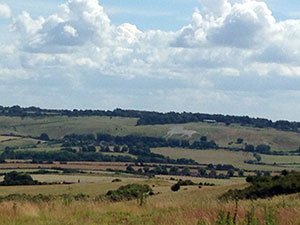
 1 - Travel down Northhall Road to the A4146. At the road turn right and then left along South End Lane past Southend and Vine Farms to the road. Turn left through Invinghoe Aston, just before passing under the electricity pylon wires take the second foot path right to the opposite side of the field and turn left to the B489 (Tring Road). Cross over the road and take the footpath to the top of Beacon Hill. On a clear day the chalk Lion at Whipsnade may be seen on the hill.
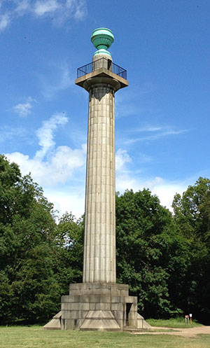
 2 - At the top of Beacon Hill turn right and travel along the ridgeway crossing the road and path ahead bearing left ignoring the right one. Don’t pass through the gate but pass around Incombe Hole keeping left through the woods to arrive at a track. Turn right to cross over a cattle grid and follow the track left past Clipper Down House. The track will take you past Duncombe Terrace, Hanging Isley, and Moneybury Hill to reach the Bridgewater Monument (very good National Trust cafe here).
3 - Turn left down the drive and Prince’s Riding. At the end follow the permissive path to the road that passes in front of Ashridge College. Where the road turns left and right continue ahead on the path to reach the main road at Little Gaddesden.