
|
Distance |
18.5km / 11.6 miles |
|||
|
Explorer maps |
North York Moors, Western Area OL26 & Ripon & Boroughbridge 299 |
|||
|
Time |
4 - 4.5 hours average time based on Naismith’s rule |
|||
| Total ascent | 44m | |||
|
Total descent
|
105m
|
|||
|
Waypoint coordinates |
|
|||
| Download PDF |
|
|
||
|
Overview |
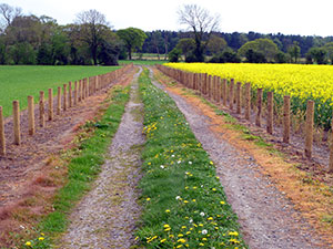
This is predominantly a flat walk along a combination of good paths, disused railways, and country roads. |
|||
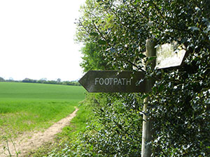 1 - From Byland Abbey follow the road to Coxwold. Shortly after the bends in the road and the house on the right take the footpath sign into the field. Follow the signs to Cam Head and Oldstead Grange. At Cam Head take the left footpath ignoring the Oldstead Grange sign and head into the woods keeping the fence on the left.
Walk over the small bridge and through a gate and into a field. Halfway through the field turn left over two stiles and follow the signs to Coxwold. At the third sign go straight through the field ( keeping the small copse on the left ) to the road and turn left towards Coxwold.
2 - Just before Shandy Hall turn right through fields which lead to a disused railway line.
Turn right onto this, and follow to Elphin Bridge. At Elphin Bridge turn left and just before the small bridge over the stream turn right into a field and left following the field boundary.
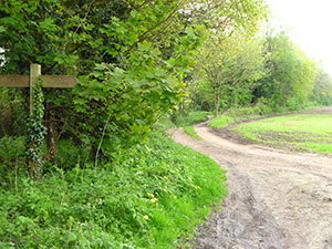
Cross over the style, and walk past Baxby Mill to Ings Lane, ignoring the path over the stream on the left.
3 - At Ings Lane turn left, go over the bridge and then right, sign posted Thormanby. Eventually pass underneath a large pylon and into the next field. Ignore the footpath signs ( farmer obstructed the paths at the time of writing the walk) but continue with the stream on right. At the point where a bridge crosses the stream on the right, turn left up the track that eventually becomes Church Lane, Thormanby.
 4 - At the end of Church Lane, turn left and then immediately right up Moor Lane. After approx 700m turn left along Carr Lane that will reach a disused railway line. Turn right just before the railway line, and follow the field boundary and track to Throstle Ness Farm. At the farm pass in front of the building and around the back following a new track. Continue along this. When you reach a footpath junction ignore left and right but carry on down the track to reach a small lane.
 5 - Turn right up the lane which eventually becomes a Public Bridleway and follow this to the end to reach Race Lane. Turn left over Jobbing Cross Bridge and follow the road to Pilmoor Gatehouse on the left. Turn left at the Gatehouse and back onto the disused railway line for approx 3 km / 2 miles to the main road. Cross over the road and travel diagonally across the field opposite to arrive at a stile at the rear of Brafferton school. Cross into the grounds and immediately over the stile on the right, and down to the next stile and onto the track. At the end of the track cross over into Hall Lane, at the junction reach Brafferton village.
